en
|
July 27th 2024 - 06:56
News
Item
|
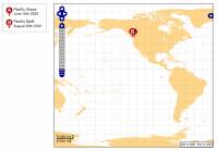
New Tracking Map Interface |

Sample recent vessel positions map
|
Category: Bosunīs Log
July 9th, 2008
I have mentioned this quite some time ago - but itīs finally online and running for the 2008 summer SALTS trips. New and Improved interface for vessel tracking that uses an advanced open-source mapping engine along with custom chart data for coastlines around the world....
|
|
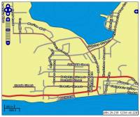
Fun With Street Maps |

Sechelt Street Map Example
|
Category: Bosunīs Log
July 17th, 2008
Now that the new mapping interface is running well, it seems many of my customers want street level data - only problem is that that data is very expensive (roughly $25,000.00 per year!!!) so I needed to find an alternative......
|
|
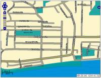
Street Level Maps Ready |

Sample Street Map
|
Category: Bosunīs Log
July 29th, 2008
After a little over a week of work I finally have the entire Sunshine Coast road network mapped out, including ferry routes and some of the major routes to get here....
|
|
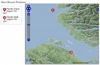
Mapping Enhancements |
Category: Bosunīs Log
August 12th, 2011
The vessel tracking system has been updated to include several enhancements that make it both easier to use and faster.As always, we have more in store but finding the time to fit it in around the īday jobī can be a real challenge!...
|
|


