


July 29th, 2008
July 29th, 2008
Street Level Maps Ready
After a little over a week of work I finally have the entire Sunshine Coast road network mapped out, including ferry routes and some of the major routes to get here.See my previous post for the Back story, the key here is that this new road-map of the coast is likely going to be the most accurate available. The only easily interactive one that details the coast, and has loads of room to expand with additional information.
I´m pretty excited About it - and launching today, it will already be available on the http://www.sunshinecoastcanada.com web site and http://www.bbsunshinecoast.com in the back-end. I build both these sites and they were the main reason for the new system being created.
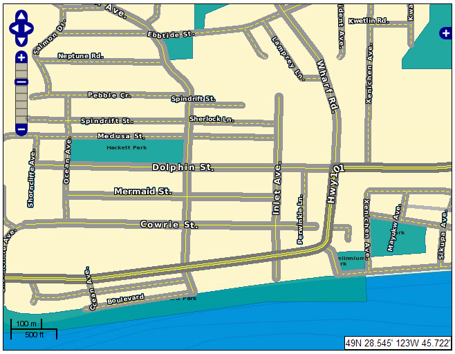
Sample Street Map
More Images
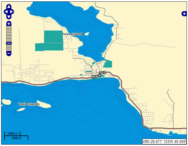
View from slightly further out
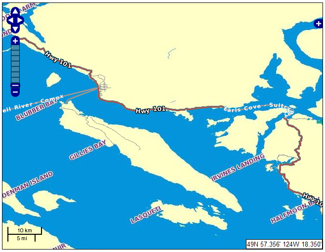
Data extends from Horseshoe Bay to Lund
i
You must login or register to post comments Login/Signup
| RSS feed | Feed Description |
|---|---|
| Complete RSS feed | |
| RSS feed for: Bosun´s Log | |
| A Rich Site Summary (RSS) feed is an xml data file that provides a summary of the information contained here. It is not designed to be viewed in your browser, but instead by rss reader software. If you do not know what this means - you can safely ignore it, as it is provided for advanced users with rss reader software only. | |